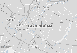
MyBrum Map
MyBrumMap is the Council's GIS Maps (Geographic Information System) application that has been made available for you to view council information on a map. You can explore new insights into Birmingham and find out more about your local area. This is a new service and it is our intention to add more layers of information as part of future developments. We would welcome your feedback.
